

Doi Inthanon National Park
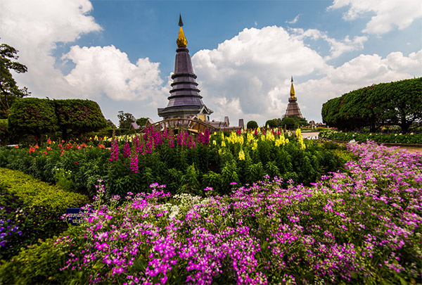
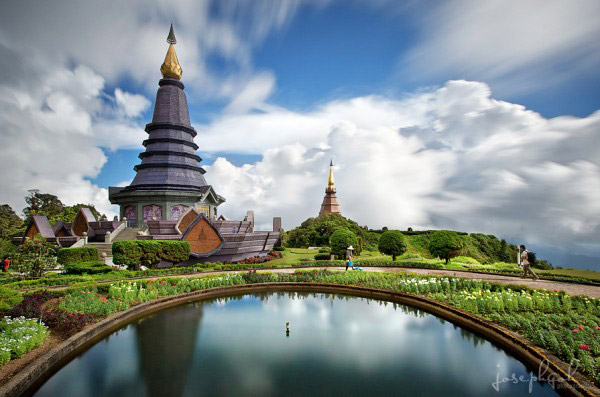
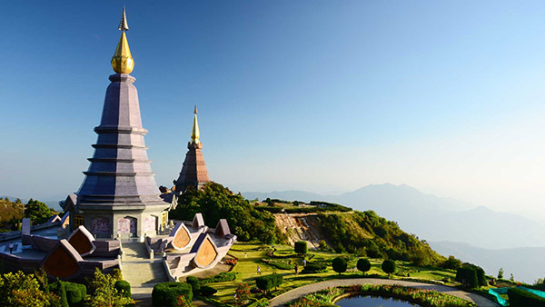
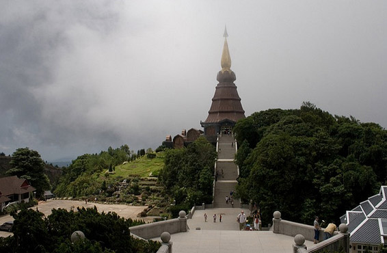
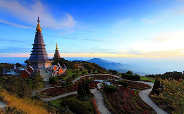
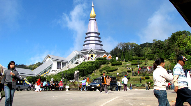
Doi Inthanon National Park is Thailand's highest mountain, 2,599 metres above sea level. Doi Inthanon is a part of the Himalayas, which ranges across Nepal, Bhutan, Myanmar, and ends at Northern Thailand. Complex mountain ranges and a mild climate characterise an area with a moist and dense summit forest. Doi Inthanon is very intersting for ornithologists. Summit forest is the source of important tributaries of the Mae Ping River. Meo and Karen hilltribes inhabit the park. Visiting Doi Inthanon is possible throughout the year. The best period for viewing waterfalls is May through November. The best period for viewing wild flowers is December through February. The best period for ornithologists is November through March. Getting there: Travel 58 kilometres west of Chiang Mai via Highway No. 108 to Chom Thong, then turn right into Highway No. 1009 and continue a further distance of 48 kilometres along Highway No. 1009 to the summit. A good asphalt road takes visitors up but is rather steep, thus the vehicle must be in a good condition. Visitors could pay for the entrance fee at Km. 8.
Doi Inthanon can be reached by a local truck (Song Thaeo) from Phra That Chom Thong or Mae Klang Waterfall. The Song Thaeo runs to Doi Inthanon National Park Office (Km. 31) and neighbouring villages. A chartered Song Thaeo costing around 800 baht can make stops at other attractions around the area.